Two lanes 194 (815)
Top down 198 (1,066)
Leaving Walla Walla we drove northeast through the Palouse That is the local name for the rolling wheat covered hills of southeastern Washington. Again everything was green. I was dreading it because the last time I was through here it was August: hot dry brown. Not today. US 12 followed the Lewis and Clark trail to the confluence of the Clearwater and Snake Rivers in Lewiston, ID. After visiting the Lewis and Clark Discovery Center in Hell's Gate State Park ( ), we drove out along US12 through the Nez Perce Reservation.
History shows that the Lewis and Clark Expedition survived because of the Nez Perce. Entering what is now Idaho through Lolo Pass in the Bitterroot Mountains, the expedition ran into an early September snowfall of 8 inches. They were hungry, tired and sick, and had to eat some of the colts. They had naively expected that the continental divide would be one mountain range. There are over 100 named ranges in western Montana and central Idaho. They had been on the trail 16 months from St. Louis. It was September 1805.
They found the Nez Perce, misnamed by the french fur trappers for 'pierced noses'. While at time they may have used piercings in ceremonial displays, piercings were not an everyday adornment. Historians believed that this misnomer came from signs the Nez Perce used to show the way over and through the mountains. The sign was the index finger held to the right of the face, hey moved in and up and down motion, followed by crossing the finger under the nose.
Lewis and Clark befriended Chief Twisted Hair. He had them fed, traded horses to them for iron implements, and sent guides with them. Lewis and Clark pledged everlasting peace.
In 1855 the US Government signed a formal treaty with the Nez Perce. In 1863 the US 'renegotiated' it by reducing the the lands of the Nez Perce by 90%. In 1877 the US demanded they go to reservations. 1/3 refused. They traveled (men, women, children and elderly) 1500 miles in an attempt to reach safety in Canada. They were captured and sent to reservations. They had fallen 40 miles short of the border.
We drove along the Clearwater, then the South Fork, then the Middle Fork. It was pouring rain. The river was about 25 yards wide and within 3 feet of flood stage. Moving swiftly. We stopped for the night at the Reflections Inn ( ) 11 miles east of Kooskia, ID. Ruth met us and ushered us to our room with an umbrella. She then showed us the kitchen. We were prepared to cook. Then her husband Jim appeared at the door with a flask of port and two glasses, along with the admonishment "You can't drink this more than 30 minutes before bedtime." He was smiling.
We cooked catfish, pasta and pasta sauce. The pasta sauce came from our freezer. Homemade by our son-in-law Jonathan. Fantastic. It was accompanied by Walla Walla asparagus sauteed in Walla Walla sweet onions.
Another great day. And we are alone in this 8 rooms inn. We are about 100 feet above the river and have full view of it.
It is not just the onions that are sweet.
The Palouse

The Columbia County Courthouse in Dayton, WA

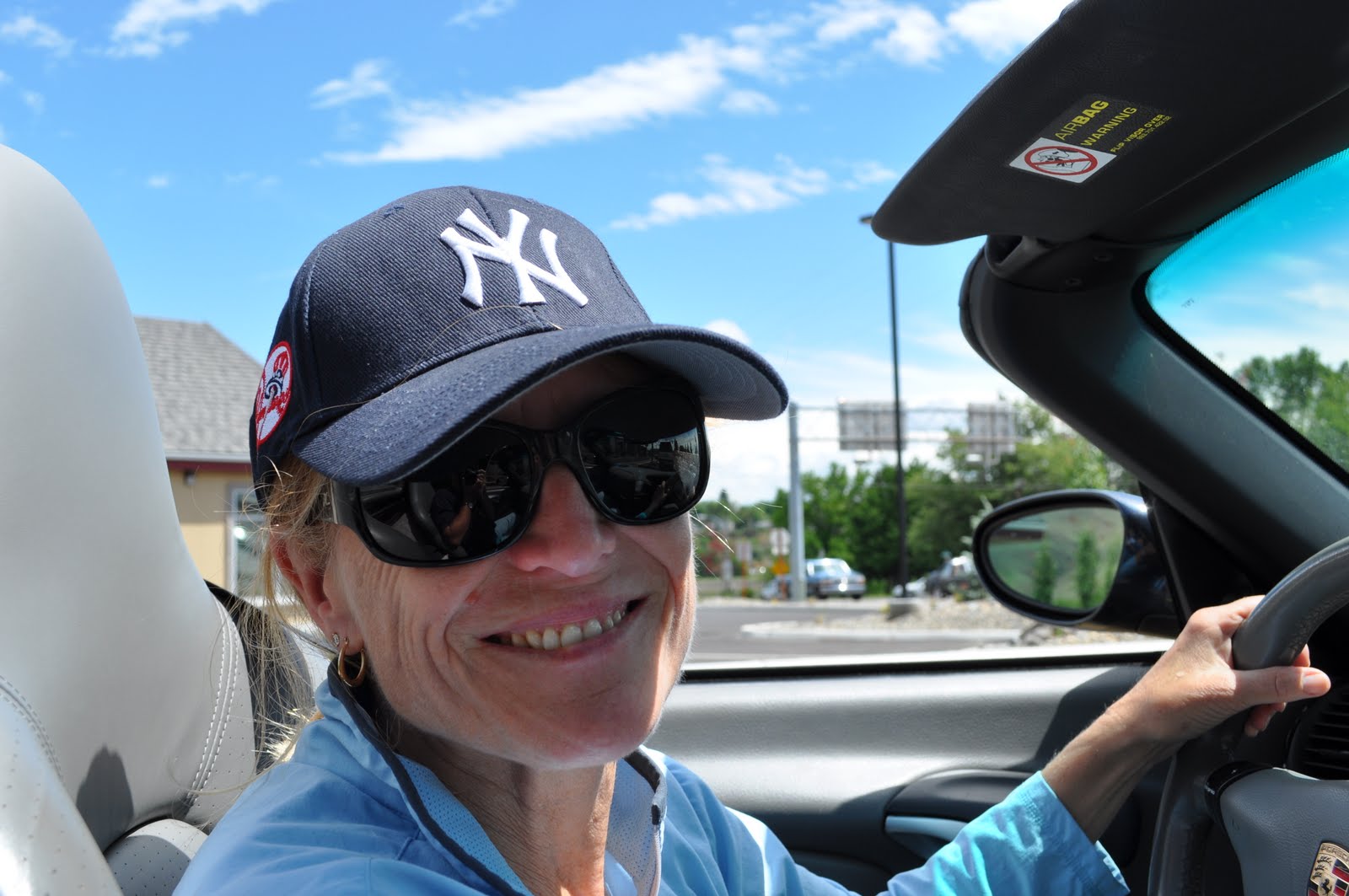
Posing for Jonathan
The Storm

The Clearwater at Kooskia

we couldn't find Kooskia on our big map, but found it on a map of Idaho. We had to put the car on Kamiah as it was the closest big town. Emma traced your journey this morning. Pictures are fabulous - we are really enjoying your trip!
ReplyDeleteLove the Picture Mom!
ReplyDelete